


Advantages
Speed
Capturing data at a speed of up to a 1 000 000 coordinated points per second
Accuracy
At least equivalent comparing to the best traditional methods
Objectivity
Detailed and accurate 3D Document of the current situation
Safety
Contact-free surveying which is very important for dangerous and hard-to-reach objects
BIM
Unique technology collecting input for BIM-projects and carrying out control surveys in BIM-constructions.
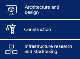
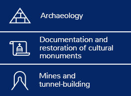
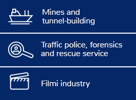
Applications
Gallery

Laser scanning and 3D modeling of the cultural centre in Raikküla, Estonia

Laser scanning and 3D modeling of the old industrial building in Antsla, Estonia

Laser scanning of the Arigato fitness club building in Tallinn, Estonia

Laser scanning of the industrial tanks in Suur-Paala 10, Tallinn

Laser scanning of the industrial buildings of Norma factory in Laki 14 Tallinn, Estonia

Laser scanning of the industriaal piping system in Kiviõli, Estonia

Laser scanning of the facades of the building Rävala 2, Tallinn, Estonia

Laser scanning of the industrial tanks in Kunda, Estonia

Laser scanning of the old industrial buildings in Rotermanni 6 Tallinn, Estonia

Laser scanning of the ancient shipwrecks in Tallinn

Laser scanning of the building of the Riisipere Manor in Estonia

Laser scanning of buildings in Tartu mnt 80b and 80c in Tallinn

Laser scanning of the roof constructions of the Helsinki Central Library

Laser scanning and 3D modelling of the cement factory in Gotland, Sweden

Laser scanning and 3D modelling of the cathedral in Haapsalu

Laser scanning of the facades of the buildings Lõõtsa 2a and Lõõtsa 2b in Tallinn

Laser scanning of the worship stone in Tallinn Airport area

Laser scanning of the production facilities of the HKScan Meat Factory in Rakvere, Estonia

Laser scanning of the foundry building in Noblessner shipyard in Tallinn

Laser scanning of the King’s Chapel of the St Mary's Cathedral in Tallinn

Laser scanning of the M-building in Telliskivi district, Tallinn

Laser scanning of the EBS building in Tallinn

Laser scanning and 3D modelling of the pipes in Port of Muuga, Estonia

Laser scanning and 3D modelling of the historical warehouse buildings of the Kreenholm manufacture in Narva

Laser scanning and 3D modelling of the Gustaf Dalen lighthouse in Turku archipelago, Finland

Laser scanning of the Luther Factory mashine room building in Tallinn, Estonia

Laser scanning and 3D modelling of the concert hall of the Tallinn Linnahall

Laser scanning of the Pöide church, Estonia

Creating of 3D confidence model of the Pöide church, Estonia

Laser scanning of the canola oil factory of Scanola Baltics AS

Laser scanning of the church of Kazan

Laser scanning of the Kärdla church, Estonia

Laser scanning and 3D BIM modelling of the Terminal D building in Port of Tallinn

3D modelling of the church of Kazan

Laser scanning of Haapsalu Episcopal Castle in Estonia

Laser scanning of Paatela, Vaajakoski and Kuhankoski locks and the bridge in Lehdesmäe in Finland
Tallinn
463 Pärnu rd.
10916 Tallinn
Phone: +372 608 1100
Fax: +372 608 1101